These two great rocks, glacial left-behinds.


We stopped for gas here. I can't remember where it was, but knowing where the gas stations are crossing this section of land was a big deal. It is really remote. There was a turning in the road where our marker for the turn was this single lone phone box at a T junction!


We stopped for lunch on a single roadside picnic place next to Tatla Lake, another kettle lake. We had wine, cheese, crackers & Italian salami! Imagine my surprise seeing this wire cube-thingy in the grass! Such a beautiful setting.


Alternating forest fire regrowth & gorgeous kettles.


More fire scarred land & total lushness between.


On to Alexis Creek & gas. George asked if the woman serving us was Grandma. He was told she had fired Grandma!


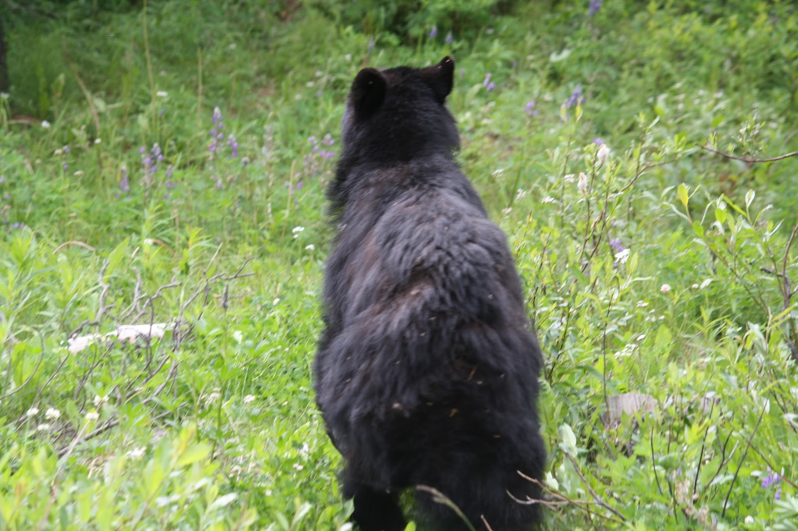
This was our first bear. Wounded back, limping, & poor fur.
From there we, George driving, descended The Hill.
It was built years ago by First Nations People up on the Chilchotin Plateau above & the Bella Coola valley First Nations People below. Much of this road is at 15% or so grade & was finally taken over by the highway system, though they won't sign off on the engineering. The whole time we were in an avalanche zone. I should have taken pictures of the road, but I didn't think of it. It was very nerve-racking.


And finally in the valley below looking up.

No comments:
Post a Comment